Osered
| Osered | |
|---|---|
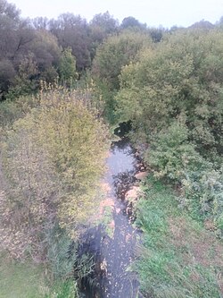
 Intersection between Osered and M4 highway | |
| Native name | Осередь (Russian) |
| Location | |
| Country | Russia |
| Physical characteristics | |
| Mouth | Don |
• coordinates | 50°27′16″N 40°05′16″E / 50.45444°N 40.08778°E |
| Length | 89 km (55 mi) |
| Basin size | 2,420 km2 (930 sq mi) |
| Basin features | |
| Progression | Don→ Sea of Azov |
The Osered (Russian: Осере́дь) is a river in Voronezh Oblast in Russia. It is a tributary of the Don. It has a total length of 89 km (55 mi) and a drainage area of 2,420 km2 (930 sq mi).[1]
References
- ^ «Река Осередь (Осеред, балка Осеред)», Russian State Water Registry
